

NEW INTERPRETATION PANEL AT PLEASLEY PIT
Exploring the Bolsover Loop has become even easier with the installation of a new interpretation lectern at Pleasley Pit Country Park.

Located at one of the Loop's most popular access points, the lectern helps visitors understand the route, discover nearby attractions and plan their journey through the district. It also celebrates Pleasley Pit's rich heritage and its important role within the wider Bolsover Loop network (not least for their delicious range of homemade cakes!)
We're also pleased to launch an updated GPX file for the route, making navigation easier and more reliable than ever.
Whether you're walking, wheeling, cycling or running, the GPX file allows you to follow the route directly from your smartphone, GPS device or fitness app.
Many people now explore the countryside using digital navigation tools such as Strava, Komoot, Garmin, OS Maps, Outdooractive and other walking and cycling apps.
Downloading the GPX file means you can:
Follow the route confidently without worrying about wrong turns
See exactly where you are along the Loop
Plan shorter sections as well as the full route
Record your walk, ride or run
Share your adventures with friends and family
Discover new parts of the district at your own pace
Access the route even in areas with limited mobile signal
The Bolsover Loop isn't about completing all 26 miles in one go. It's about discovering the district in a way that works for you.
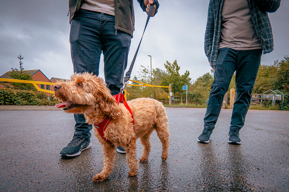
You might choose a gentle family walk around Pleasley Pit, a weekend cycle ride between villages, a trail run through the countryside, or a wheeling route to explore somewhere new.
With improved on-site information and easier digital navigation, there has never been a better time to get out and explore.
Download the updated GPX file, visit the new Pleasley Pit lectern and discover the towns, villages, heritage sites and green spaces that make the Bolsover Loop such a special route.


Comments